WikiMiniAtlas
WikiMiniAtlas is a Javascript plugin to display a draggable, zoomable, and clickable worldmap (as well as Moon, Mars, Venus, Mercury, Io and Titan imagery) in geocoded Wikipedia articles. The map contains links to all other geocoded articles in Wikipedia and can be magnified down to streetlevel. 3D building models are displayed in modern browsers. While it looks similar to Google Maps it is our own software and free data.
Go to White House. Check out the ![]() -icon in the top right corner. Click it and drag the map around. Use the +/- buttons to zoom in and out, use the downward arrow to open the config page.
-icon in the top right corner. Click it and drag the map around. Use the +/- buttons to zoom in and out, use the downward arrow to open the config page.
Map data courtesy of OpenStreetMap and VMAP0, rendered using the Mapnik toolkit, additional data courtesy of the US National Park Service, Landsat7 data courtesy of NASA.
Screenshots
 3D building models rendered using hardware accelerated WebGL (february 2013)
 Client-side tile rendering makes arbitrarily large zoom levels possible (added July'12) This is using a /Vector tiles approach with OSM buildings data
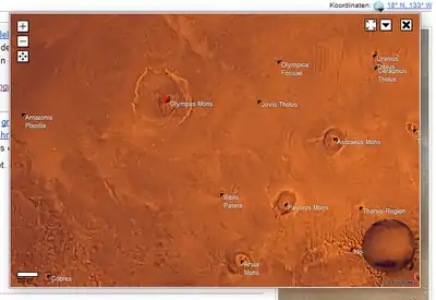 Mars coordinates on the WikiMiniAtlas
 Moon coordinates on the WikiMiniAtlas
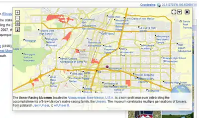 Article summaries (hold CTRL and hover a link)
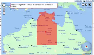 3D overview globe in the bottom right corner (showing a WIWOSM overlay on both map and globe!)
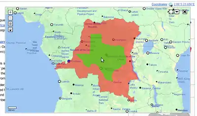 Dragging around Texas for size comparison. March 2012
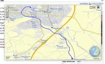 OpenStreetMap data, KML overlay (blue line), and additional article coordinates (blue dots). February 2012
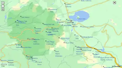 The new detailed basemap. June 2007
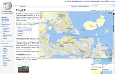 WikiMiniAtlas in action. April 2012
 Pyramids of Giza in satellite mode. October 2006
 Current weather on the Azores
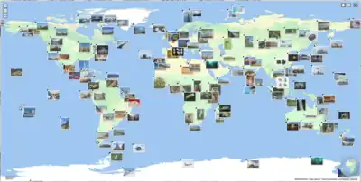 Pictures on map. June 2007